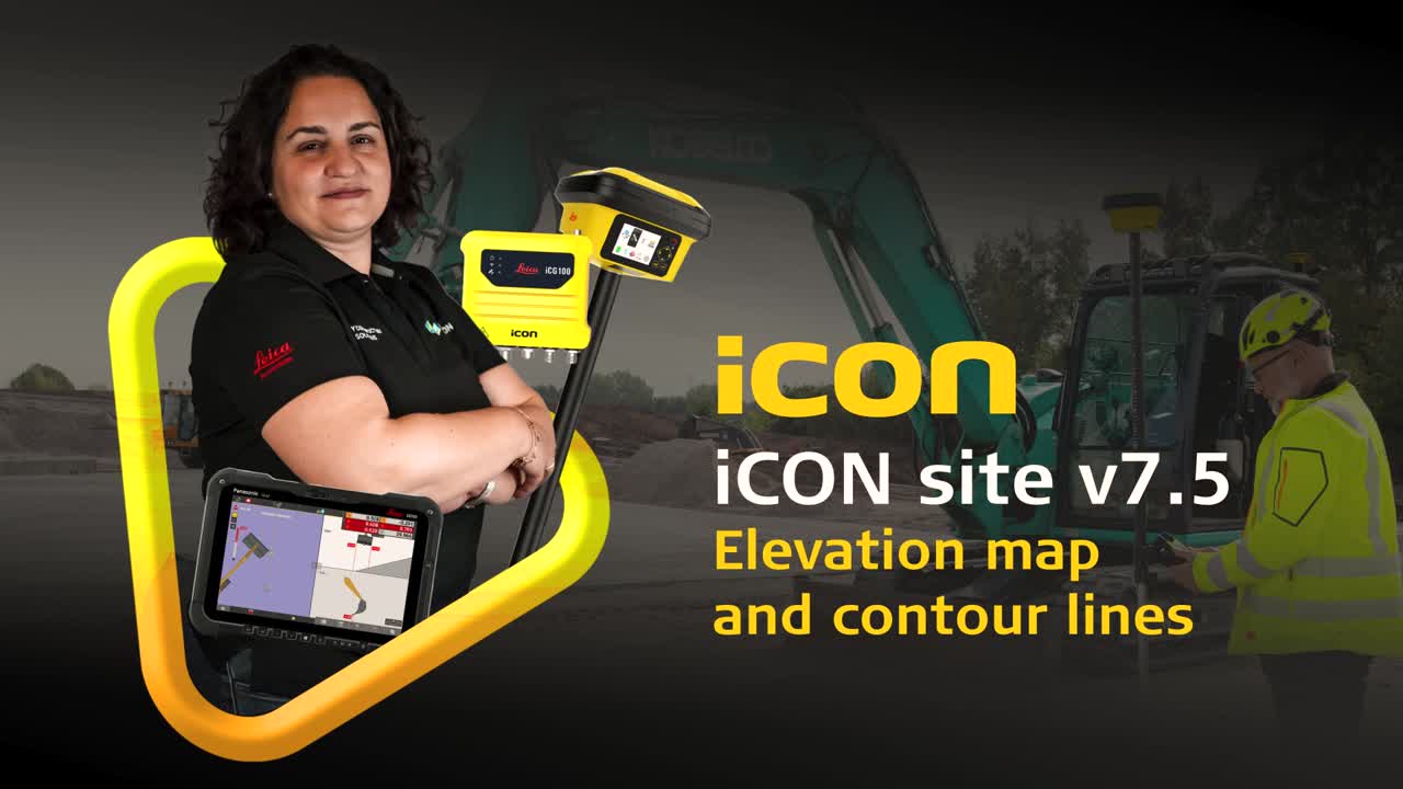
Surface validation/visual inspection is improved with the introduction of the Elevation map and the Contour lines at desired height interval. In order to stakeout contour lines, a new tool called “Contour Lines” has been introduced in Stakeout application. With this tool, the defined contour lines can be stored into a xml file. The contour lines from this file can be staked or used in other applications.