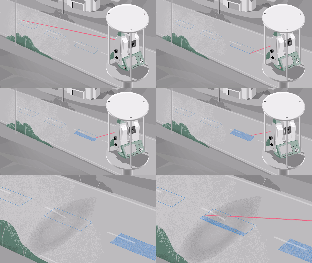
Scanning in automated monitoring with the Leica Nova MS60 MultiStation -GEO-SURV-LGS-EN

3D laser scanning with the Leica Nova MS60 MultiStation brings versatility to monitoring projects, significantly enhancing data collection compared with the single reflectorless measurement technique. Mass data from scans adds reliability and quality assurance to a project.
Leica Geosystems’ scanning in monitoring solutions are used by surveyors and organisations across the world to measure the potential impact of nearby construction and natural hazards on buildings and infrastructure.
Read more: https://leica-geosystems.com/industries/monitoring-solutions/3d-laser-scanning-in-automated-monitoring-leica-nova-ms60-multistation
#LeicaGeosystems #MonitoringSolutions #GrowWithMonitoring
