Leica ConX Share data seamlessly ANI 0519 en

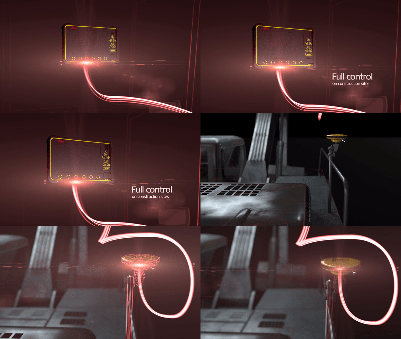
Share data seamlessly with integrated solutions from Leica Geosystems. Leica ConX is now introduced with a new 3D environment to visualise, validate and assign project files to all stakeholders on a heavy construction site. Project files from Leica ConX are automatically synchronised with the MC1 and iCON site software solutions. Use the iCON excavate to log measured points and share the data with Leica ConX for project progress calculations and productivity analyses. Measured points from the final grade checking with the iCG70T is sent back to ConX for aggregation, surface-to-surface analyses and productivity analyses.
