See how easy it is to catalog, view, and edit data using ERDAS APOLLO's powerful data crawling functions.
ERDAS APOLLO lets you automatically discover and catalog your geospatial data, such as vector, raster, point cloud, motion video data, but also other business data such as photos, documents, and videos. This automatic data indexation is called crawling. Schedule your data crawling, specifying how often you want to crawl data from a specific location.
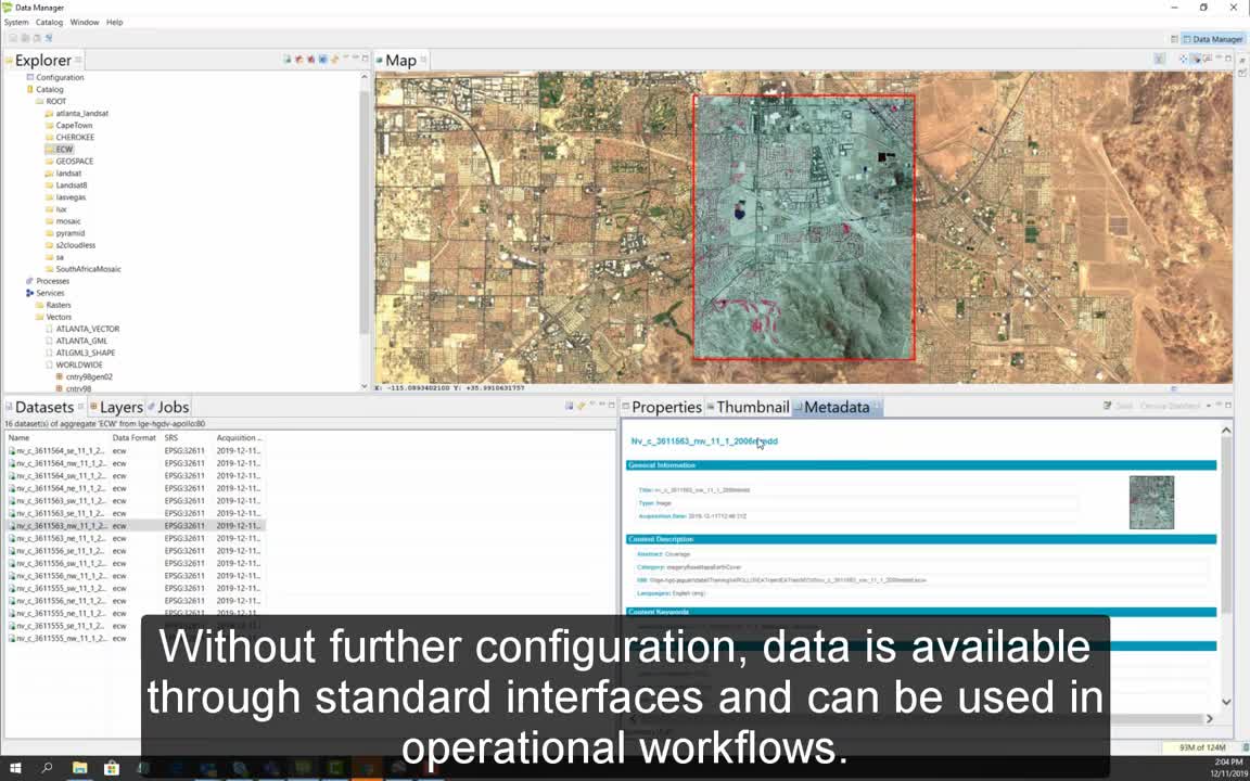
Set up the way you would like the data to be published, on which interface, and with which security configuration. Specify which metadata parser should be used to retrieve metadata from your data. View the metadata that has automatically been catalogued.
Without further configuration, data is available through standard interfaces and can be used in operational workflows.
Easily discover and directly exploit data with a simple catalog search.